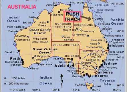
THE RUSH TRACK PROJECT
The RUSH TRACK is considered to
have significant heritage value. This project aims to secure the
track and knowledge of its significance to the tin mining history of the
area for future generations. The original track was 11 kilometres
long of which approximately 8 kilometres remain. The remaining sections
are all located on publicly accessible land, divided almost equally between
the former Herberton and Mareeba shires (now both part of the Tableland Regional Council).
The project comprises:
· researching and documenting
the history of the track
· using GPS equipment, metal
detection equipment and local knowledge to accurately map the track
· permanent marking of the
last 8 kilometres of the track.
Anticipated outcomes of the project
are:
· Research, documentation
and preservation of a heritage trail of significance to the story of tin
mining in the Herberton area for the benefit of present and future generations.
·Fabrication and installation
of interpretive signs, and the preparation and distribution of supporting
printed material and maps.
· Provision of promotional
material, signage and association with the Heritage Trails Network will
encourage use of the track as a heritage trail. The 3 hour walk
is suitable for commercial trekking, organised tours, school and community
group excursions.
· The project will
ultimately provide a basis for cultural tourism with ongoing benefit to
the Herberton and Wash River area and to the wider community.
A detailed survey to precisely locate
and map the Rush Track was undertaken late in 2002. The mapping survey
was undertaken by Reuben Sinclair who is an Assistant Geographic Information
Systems [GIS] Officer with the Mareeba Shire Council. The Council
offered the use of its GIS equipment and facilities for the project and
we acknowlege our appreciation of their generous support.
A metal detector was be used in
conjunction with the survey and fortunately this enabled us to detect a
buried horsehsoe on one of the short sections of the track whose precise
location was still in doubt.
A substantial part of the track
passes across land over which the Bar Barrum People have acquired Native
Title. They gave formal consent to the survey over their land.
We welcome support from anyone interested.
If you would like to know more about the project or have any information
or material that you think may be of value then please contact the Project
Coordinator, Duncan Ray.